


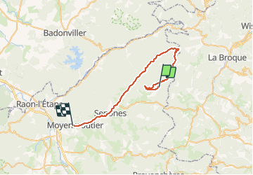

13 km | 19 km-effort


User GUIDE


FREE GPS app for hiking
 SityTrail
IGN / Geographical institutes
SityTrail World
The world is yours!
Trail Mountain bike of 34 km to be discovered at Grand Est, Vosges, Le Saulcy. This trail is proposed by fabwin.
Un beau parcours préparé par Séb, avec un dénivelé qui s'annonçait intéressant de 800m de D et 1200m de D-.
Un départ plus bas que prévu nous rajoutait plus de 200m de D et nous mettait en jambe de suite.
Cependant dans un single dans les buissons, la patte dérailleur de Séb à pliée et nous avons du raccourcir le parcours.
Mais nous reviendront car cela promet une belle journée de pédalage.


Walking
Walking
Walking
Walking
Walking
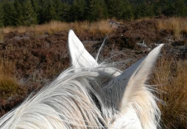
Horseback riding
Walking
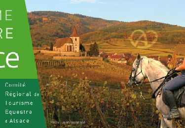
Horseback riding

Mountain bike